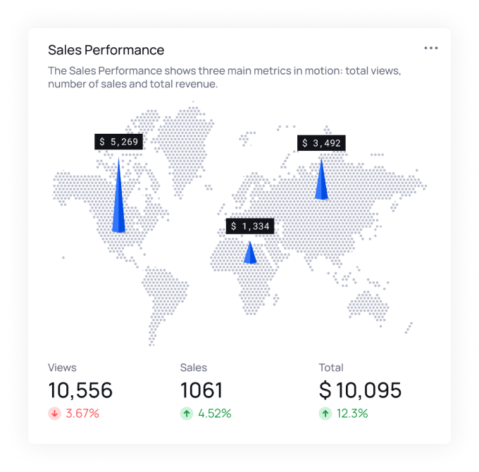
3D Maps

Explore spatial data in three dimensional views. Set administrative areas, adjust 3D parameters, and merge layers for realistic, three-dimensional views that bring any region to life with an elevated perspective.

cover-bg cover-forground

Gain detailed insights into area distribution

  • This innovative module lets you set administrative areas, upload SHP/KMZ files, and adjust 3D parameters to create realistic, three-dimensional views of regions. By merging layers and manipulating perspectives, you can bring any area to life with an elevated viewpoint. This feature is particularly useful for presentations, educational purposes, or any scenario where a comprehensive understanding of the spatial context is essential.
Unlock the Power of Location Intelligence! Join our GeoSIS platform now.

Explore data in a spatial context, uncover hidden insights, and make informed decisions based on geography. It's time to elevate your understanding of the world around you. Start your journey into Location Intelligence today and chart a course for smarter, location-driven decisions!