Frequently Asked Questions

Find the answers for the most frequently asked questions below

What is GeoSIS?

GeoSIS is a Location Intelligence platform that provides various services including supporting needs in processing, storing, managing and monitoring Spatial data. By using analysis services at GeoSIS, users can optimize business processes, and predict future results through Spatial Data Science.

What is location intelligence?

Location intelligence refers to the process of gathering, analyzing, and interpreting spatial data to gain insights and make informed decisions based on geographic information.

How does GeoSIS work?

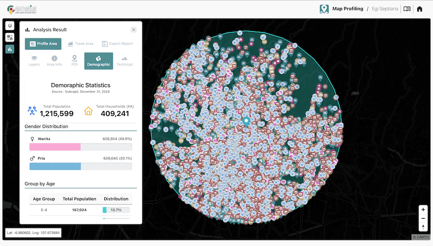
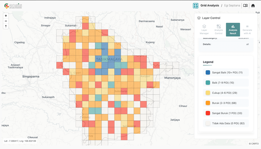
GeoSIS utilizes various data sources and advanced algorithms to analyze and visualize location-based information. It enables you to explore patterns, trends, and relationships within spatial data to derive meaningful insights.

What types of data can I analyze using GeoSIS?

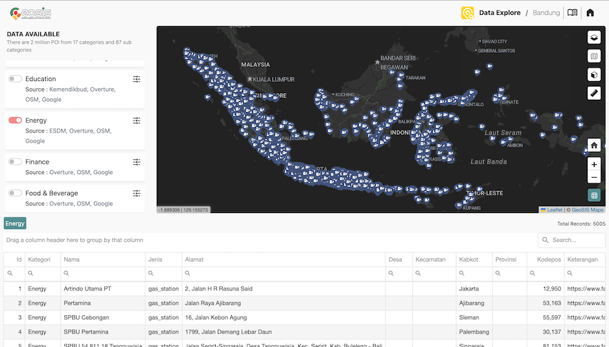
GeoSIS supports a wide range of spatial data types, including geospatial datasets, demographic data, customer locations, market data, and more. You can import and analyze your own data or access available datasets within GeoSIS.

How secure is my data on GeoSIS?

GeoSIS takes data security seriously. We employ industry-standard security measures, including encryption and secure storage, to protect your data. We also adhere to strict privacy policies to ensure the confidentiality of your information.

How can GeoSIS benefit my business or organization?

GeoSIS can provide valuable insights for various industries and use cases, including location analysis, market analysis, site selection, urban planning, risk assessment, customer behavior analysis, and infrastructure management, . It can help you make data-driven decisions and gain a competitive edge.