Transport

Analyze and visualize transportation networks, infrastructure and mobility patters to improve efficiency and facilitating informed decision-making in the field of transport.

Network Planning and Design

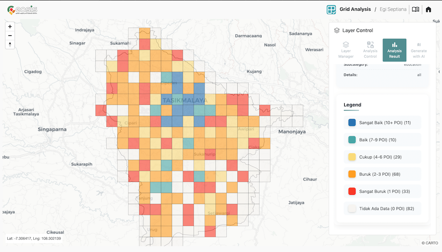
Identifying areas with high demand of public transportation, determining the best locations for transit stops and stations, and optimizing bus or rail routes to enhance accessibility and connectivity could help in designing efficient public transportation system.


Transport Data Visualization

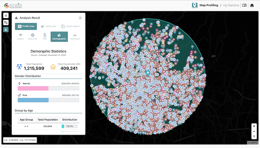
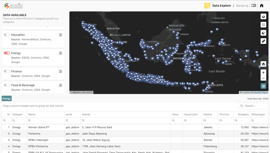
Facilitates the visualization of transportation data in the form of maps, graphs, and interactive visualizations. To get a better understanding complex transportation systems, identifying patterns, and communicating information effectively to stakeholders, policymakers, and the general public.


Route Optimization

Geospatial analysis assists in optimizing routes for various transportation modes, including delivery trucks, public transportation, and emergency vehicles. It considers factors such as distance, traffic congestion, road conditions, and specific vehicle requirements to determine the most efficient routes.