COMPANY
What is GeoSIS ?
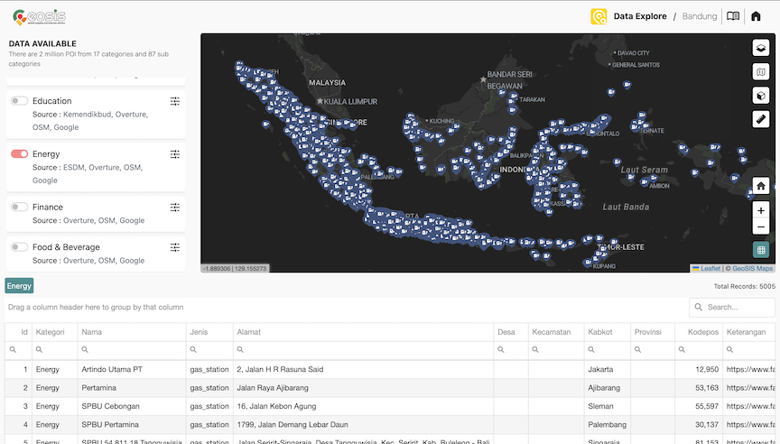
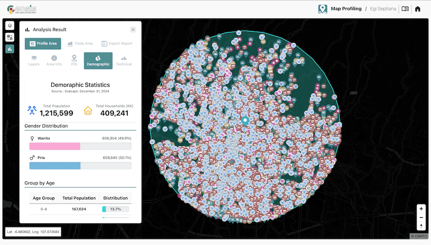
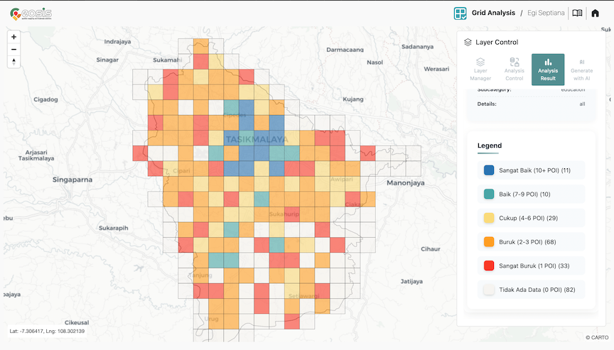
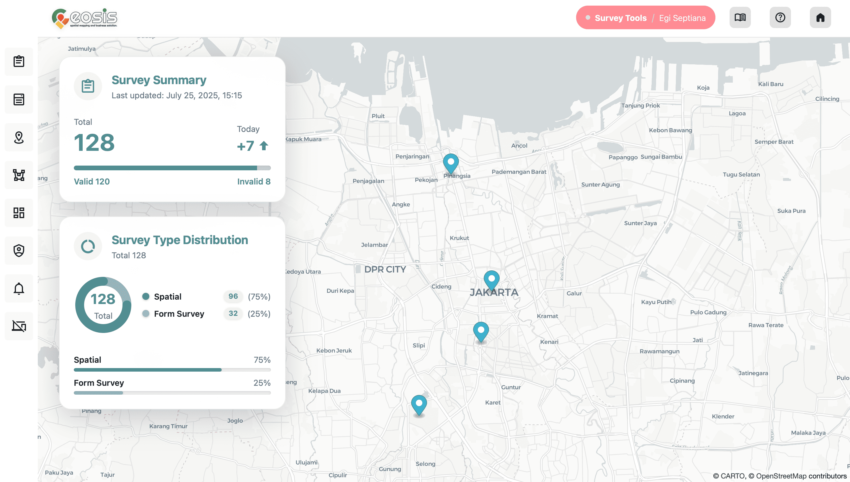
GeoSIS is a Location Intelligence platform that provides various services including supporting needs in processing, storing, managing and monitoring Spatial data. By using analysis services at GeoSIS, users can optimize business processes, and predict future results through Spatial Data Science.
Explore More