Survey Tools

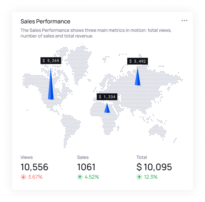
Efficiently gather data in polygon, point, or line formats using Survey Tools. Choose between tagging, on-screen images, or form-based surveys, then view the distribution results with all related information, enhancing field data accuracy.

cover-bg cover-forground

Gather and assess field data efficiently

  • This versatile module enables you to gather information in various formats, including polygon, point, or line data. You can choose between tagging, using on-screen images, or conducting form-based surveys to collect relevant information. The distribution results come complete with all related data, enhancing the accuracy of your fieldwork. This streamlined process allows for effective data gathering and analysis, making it easier to incorporate real-world insights into your projects.
Unlock the Power of Location Intelligence! Join our GeoSIS platform now.

Explore data in a spatial context, uncover hidden insights, and make informed decisions based on geography. It's time to elevate your understanding of the world around you. Start your journey into Location Intelligence today and chart a course for smarter, location-driven decisions!